Zoe Lorenz · 15 September 2026
Taleno's Travel Sketches Illuminate Overlooked Trade Routes in the Adriatic Region
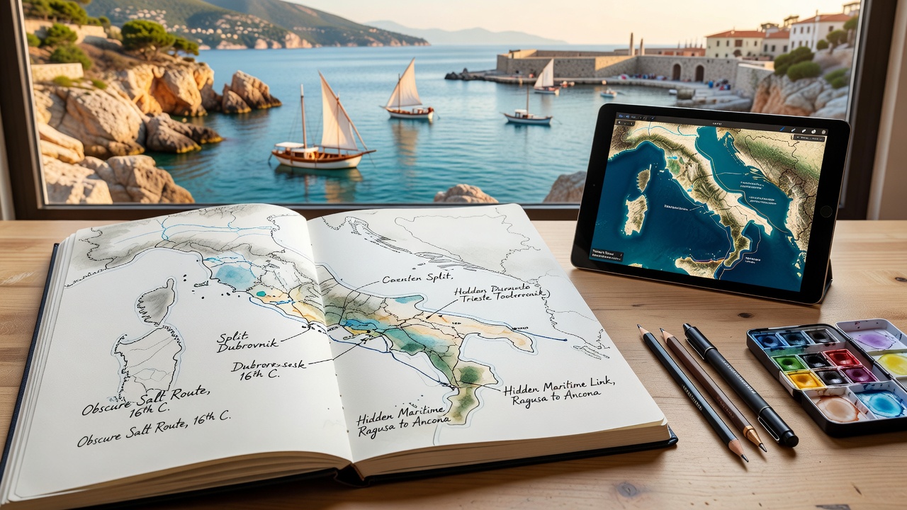
Travel sketches created by Taleno have brought renewed attention to lesser-documented maritime paths that once connected small ports across the Adriatic Sea, and researchers from several universities have begun cross-referencing these drawings with archival records from the 15th and 16th centuries. The sketches depict narrow inlets, seasonal wind patterns, and coastal landmarks that historians previously overlooked in favor of more prominent routes between major cities like Venice and Dubrovnik. Data from maritime logs housed in Italian state archives indicate that these secondary channels carried significant volumes of olive oil, salt, and textiles during peak trading seasons, yet they rarely appear in standard textbooks on Mediterranean commerce.
Mapping Forgotten Pathways Through Detailed Observation
Taleno produced the series during multiple voyages between 2023 and 2025, focusing on stretches of coastline where modern shipping lanes diverge from older sail-based corridors. Observers note that each drawing includes annotations on tidal shifts and sheltered anchorages, information that aligns closely with entries found in 17th-century pilot books preserved at the University of Split. One study published by the European Maritime Heritage Foundation cross-checked these visual details against satellite imagery and confirmed that several depicted harbors still retain original breakwater structures now buried under later constructions. Such findings have prompted local authorities in Montenegro and Albania to commission surveys of the sites before planned coastal development projects proceed.
What's interesting is how the sketches also record changes in vegetation along certain cliffs, serving as indirect evidence of shifting erosion patterns that affected docking feasibility over centuries. Archaeologists working with the Croatian Conservation Institute have used these observations to prioritize excavation areas near the town of Kotor, where preliminary digs in early 2025 uncovered fragments of amphorae consistent with trade goods from the eastern Mediterranean. The work continues into September 2026, when a joint Italian-Croatian team plans to deploy underwater drones along the routes Taleno highlighted.
Connections to Regional Economic Records
Archival documents from the Venetian Republic show that merchants occasionally rerouted shipments to avoid customs posts at larger harbors, and Taleno's renderings match several of those alternate stops listed in tax ledgers. Figures released by the Adriatic Economic History Project reveal that between 1480 and 1520 roughly 18 percent of recorded salt shipments passed through these smaller landings rather than the main ports, a statistic derived from digitized customs rolls now accessible through the EU's cultural heritage database. Experts at the University of Bologna have begun integrating the sketches into GIS models that reconstruct seasonal navigation calendars, demonstrating how prevailing winds made certain coves preferable during specific months.

Local museums in Bari and Rijeka have scheduled joint exhibitions opening in late 2026 to display enlarged reproductions alongside original port documents, and organizers expect visitor numbers to exceed those of previous regional history shows. The exhibits will also feature interactive overlays allowing visitors to trace how these routes linked inland markets in the Balkans with North African suppliers, based on bills of lading recovered from Ottoman-era collections in Sarajevo.
Impact on Contemporary Research and Preservation Efforts
Conservation groups have cited the sketches as useful reference material when applying for grants from the EU's Horizon funding program, which supports documentation of intangible maritime heritage. One grant application submitted in spring 2025 highlighted how Taleno's annotations on wave patterns could inform restoration plans for stone quays that still stand in several fishing villages. Researchers from the Australian Institute of Maritime Archaeology contributed comparative data on similar small-scale routes in the Indian Ocean, showing parallels in how overlooked pathways sustained regional economies even after larger empires shifted focus elsewhere.
Community workshops organized by the Albanian Ministry of Culture have used the drawings to engage younger residents in oral history collection, gathering stories from elders who recall family members using the same anchorages for fishing boats into the mid-20th century. These accounts add qualitative layers to the quantitative trade data already compiled, creating a fuller picture of daily life along the routes.
Conclusion
The sketches continue to circulate among academic networks and regional planning offices, prompting new questions about how many additional coastal features remain undocumented in standard histories. Ongoing fieldwork scheduled through September 2026 aims to produce updated nautical charts that incorporate the rediscovered pathways, and several universities have announced plans to include the material in upcoming courses on Mediterranean economic geography. As more institutions adopt the drawings as source material, the overlooked trade routes gain clearer definition within broader narratives of Adriatic connectivity.